Tuesday, October 31, 2006

collage mapping

language archipelago at night:


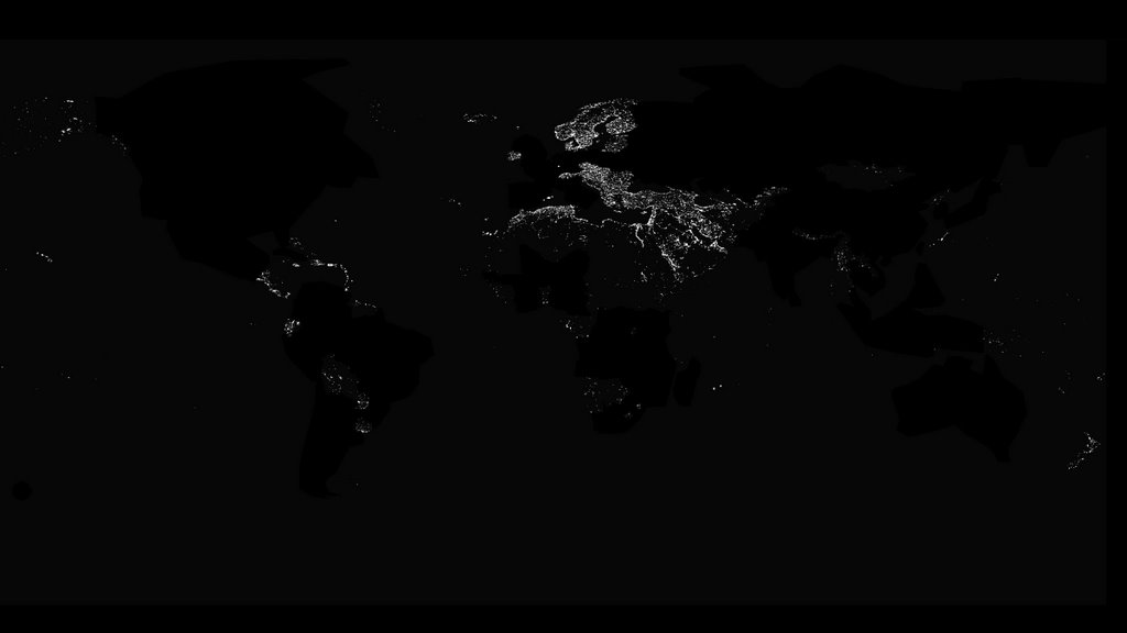
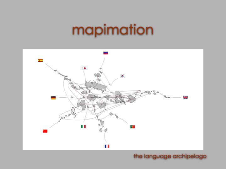
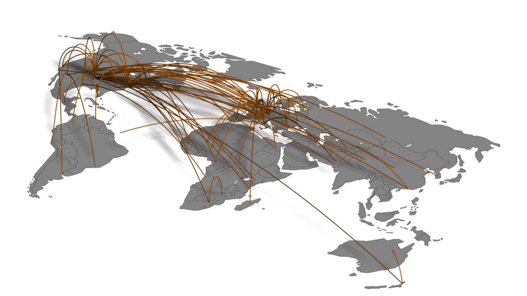
satellite imagery of the world at night reveals the relative industrial development of an area. it also reveals population hubs, transportation systems, etc. internet development parallels industrial development, which explains the concentration of light at the center of the language archipelago.


the world at night...without the language archipelago:

Monday, October 30, 2006

mapimation final

animations:


fixed camera / axon


moving camera / perspective

stills:


axon


perspective

Monday, October 23, 2006

animations:


internet hops


quicktime VR


powerpoint:


Sunday, October 22, 2006

Friday, October 20, 2006

mapimation 1.6

here is the lastest. this represents the first portion of the animation. more to come later.


quicktime movie


keyframe01


keyframe02


keyframe03

Wednesday, October 18, 2006

mapimation 1.5

here are a couple stills of the internet hops:


Friday, October 13, 2006

mapimation 1.4

in order to map the 3d language archipelago more readable/understandable, i placed each country as a 2d surface in the place of each of the spheres from the last draft. below is a quick animation fly-by followed by rendered frames.


click above to see the animation


plan


keyframe01

keyframe02

keyframe03


keyframe04