also, here is a link to my data worksheet.
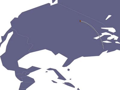
i plan to add topography to the countries based on the location of the most important internet routers. the degree of the deformation of the land caused by these routers will correlate to their influence in the internet. here is a rough draft:

3 comments:
Nice research and documentation. It's cool to see a visualization of something so intangible.
it's interesting to see how information traverses the globe through the internet, especially with your study grounded in language. i'm interested to see how time becomes a factor within your mapping.
your thorough documentation is sure to pay off!
It seems like you have A LOT of information to filter. The images you have produced so far are nice and I'd like to see what type of image is produced when all of your information is plugged in. Maybe when all of these arcs have been generated you can use that map as an underlay to progress further.
Post a Comment